

Waikato Land Surveyors

Land Surveying Services for Boundary, Topographic & Point Cloud Surveys and Development Support Across the Waikato.
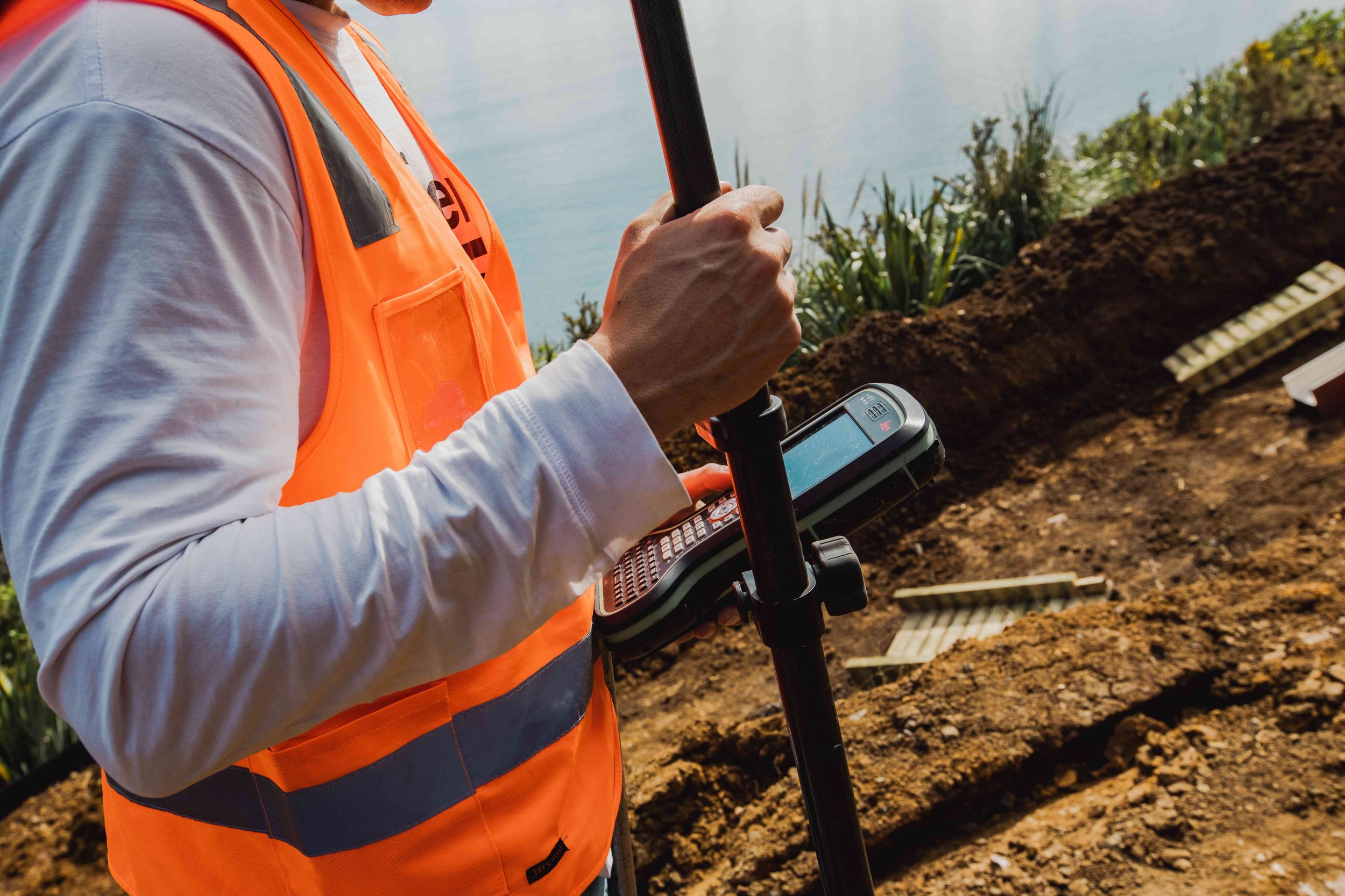
Our licensed surveyors provide a full range of land surveying services to support residential, commercial, and infrastructure projects. From boundary and topographic surveys to construction set-out and as-built documentation, we deliver precise data to keep your project moving forward. We use advanced surveying tools, including 3D laser scanning and point cloud technology, to capture detailed spatial data for your project. Our surveys support everything from site planning and design to seismic strengthening and structural alterations.
We work closely with architects, engineers, and contractors to ensure accuracy, compliance, and efficiency at every stage. Whether you're planning a new build, managing a subdivision, or upgrading existing infrastructure, our team brings over 25 years of experience and a commitment to responsive, solutions-focused service.
General Survey
Topographical surveys and site plans
Boundary Lines/Property Boundary Definitions
Rentable area measurement (BOMA surveys)
Pointcloud Data Acquisition
Drone surveys & aerial images
3D Scanning
Our Survey Services also include:
-
Greenfield subdivision
Urban subdivisions
Rural subdivisions
Unit Title Surveys
Cross-lease updates and conversions to freehold
Right of way and easement surveys
Land Covanants and height restrictions
Project Management
-
Building setouts
Civil Works setout
Asbuilts survey
Monitoring surveys
-
Height to boundary surveys (Daylight/Overshadowing)
Minimum Floor level
Building Location surveys
-
Partitions & Hapu Partitions
Occupation Order plans

Our Hamilton Survey Team
Our team of surveyors has more than 25 years of experience across New Zealand. We always prioritise exceptional customer service. Our commitment is to manage each project with precision and care, meeting the unique needs of our clients.
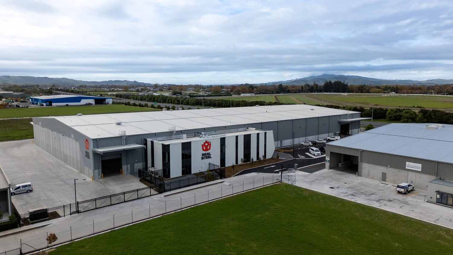
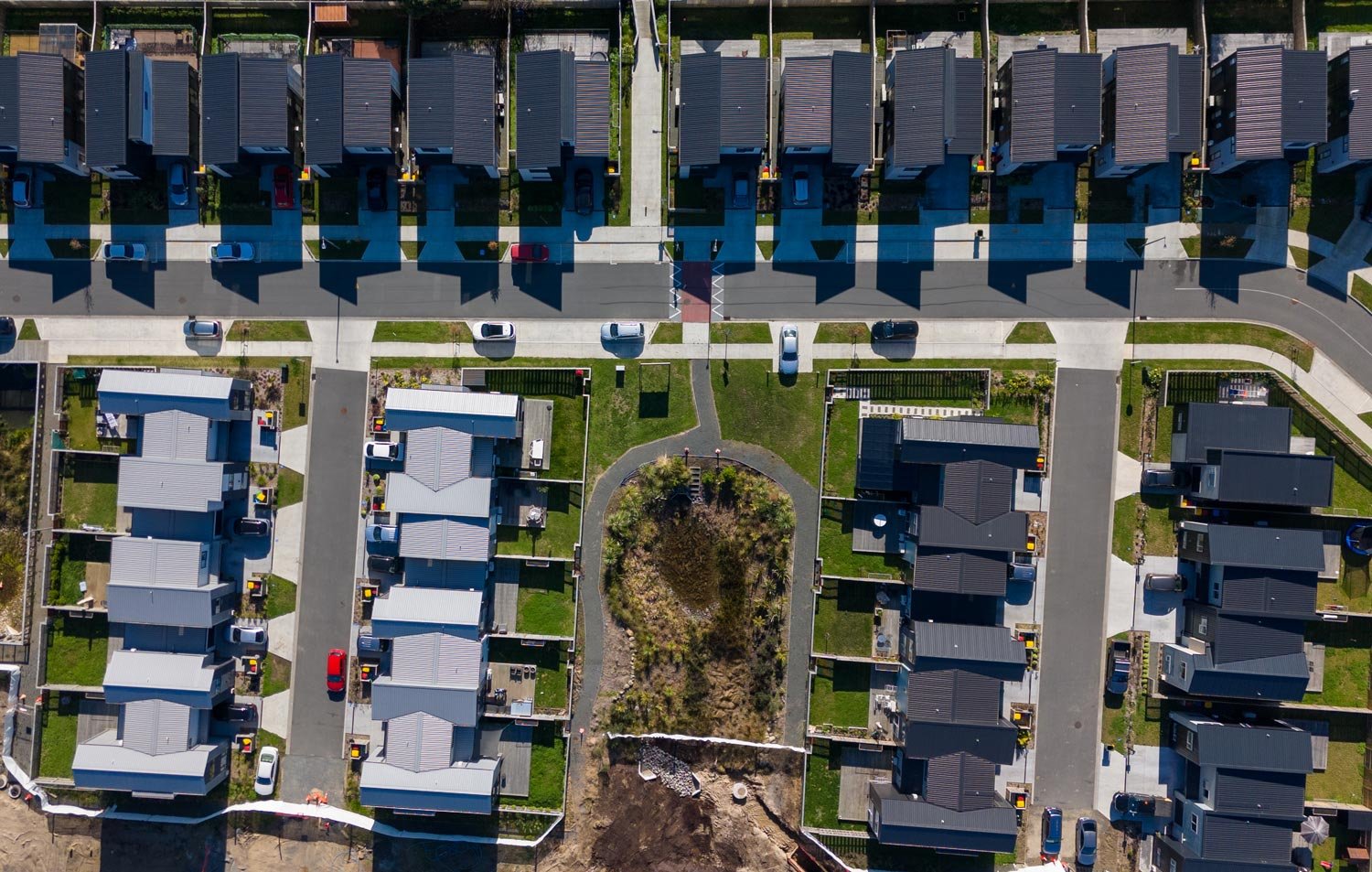
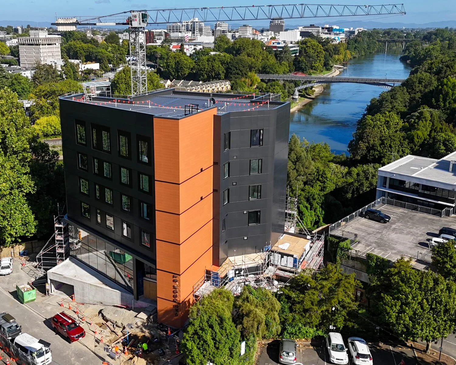
Our Surveying Projects

What our Clients say
FAQs
-
Topographical surveys are crucial before starting new building projects, alterations, or significant property changes. Our comprehensive surveys map out existing buildings, property features, services, and ground contours. This detailed information is invaluable for architects and builders, ensuring designs are perfectly tailored to the property's unique characteristics.
-
Boundary surveys are used to confirm property limits and are essential for legal documentation and land transfers. Topographic surveys, on the other hand, provide detailed elevation and surface data, which is crucial for design, planning, and engineering.
-
3D scanning is ideal when you need highly accurate data of existing structures, especially for renovations, seismic strengthening, or heritage projects. It captures detailed spatial information quickly and safely.
-
Yes, we have experience working in all towns across the Waikato region.
-
Yes, it's important to ensure the fence is in the correct position. Existing fences or hedges may not accurately reflect property boundaries.
About BCD Group Hamilton
We are a team of passionate property professionals who get a kick out of shaping the built environment to meet the needs of our clients today and into the future. Over the last 15+ years we have solidified ourselves in the market as an industry leading, one-stop consultancy. Known for our award-winning building designs for structural and fire engineering and land development projects.
BCD Group Hamilton Office
Level 1, 220 Tristram St, Hamilton Central


Our Services


Civil
Engineering
Traffic & Transport
Engineering


Structural
Engineering
Draughting


Surveying
Environmental
Geotechnical
Engineering

Fire
Engineering
Our Locations
